Go to Welcome to
Rickubis.com for links to my other pages.
Go
back to my RICKUBISCAM page
ARCHBISHOP
FIORENZA PARK
NORTH---------------------------------------------------------
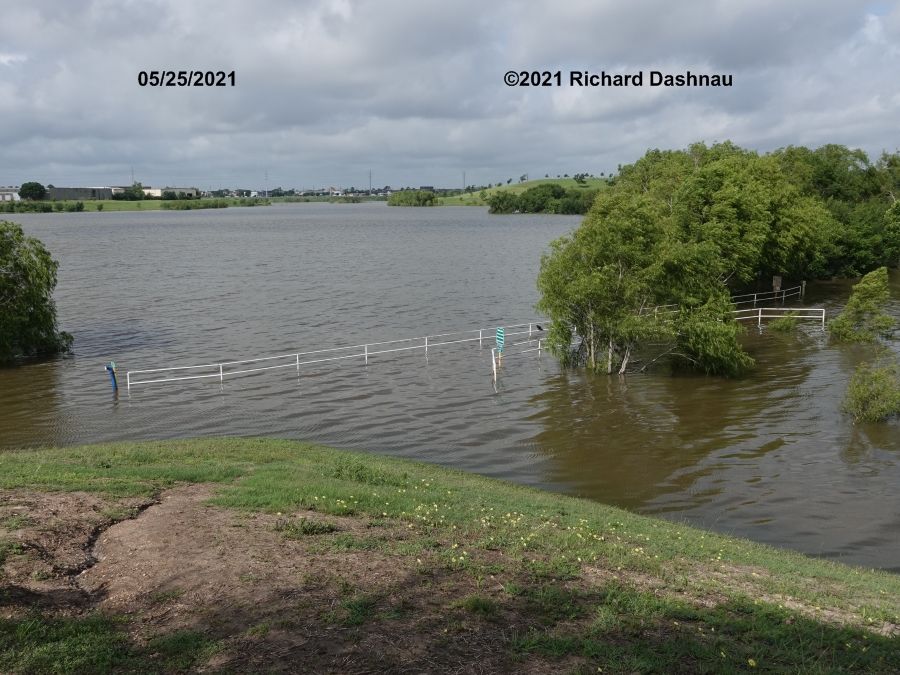
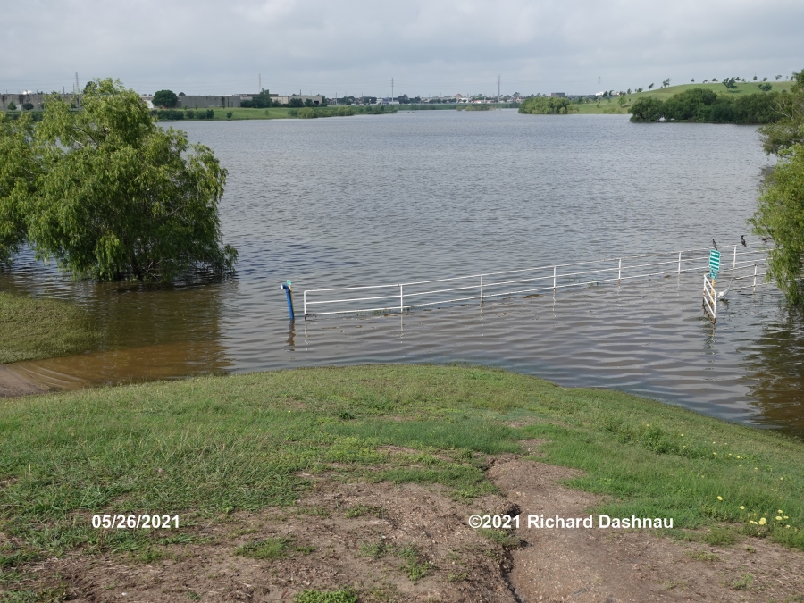
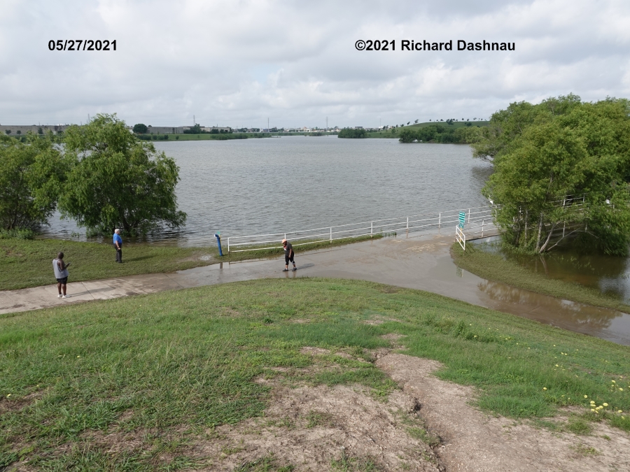
This park was built around a "water
detainment" project for Brays Bayou. It covers about 362 acres,
according to the website here.
They've finally added a map to the website.

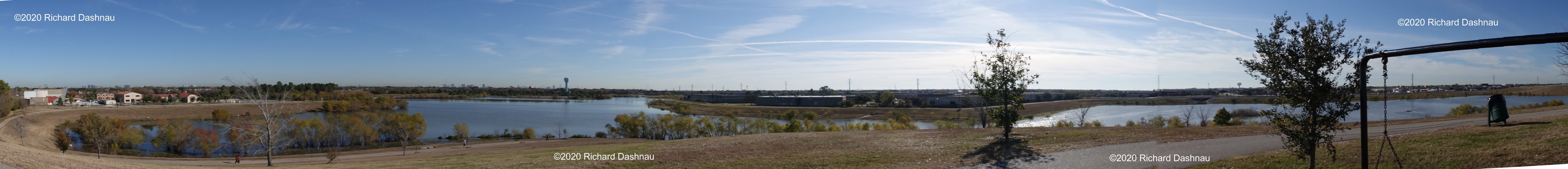
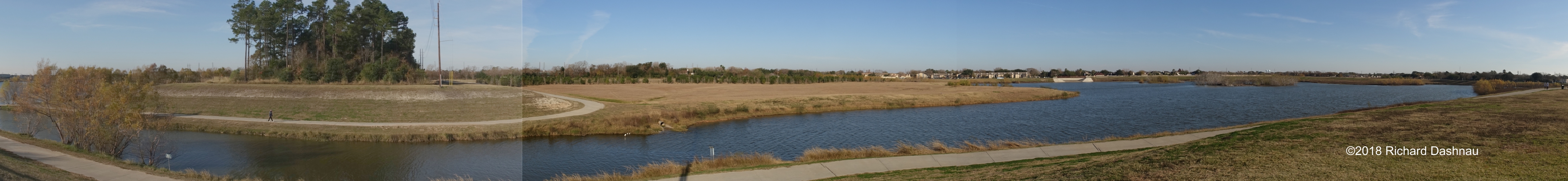
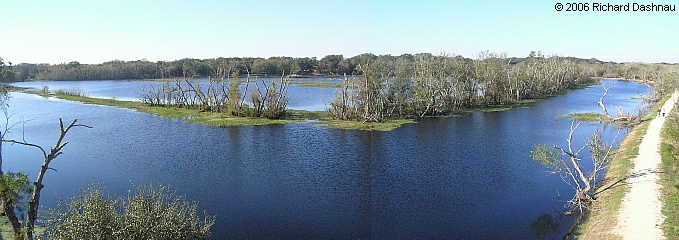
Long
panorama shot. Click it to see it larger. Downtown Houston is in
the
direction of that water tower near the center. Beautiful
day! This link
should bring the webpage (new 2021) for the park (362.5
acres!)
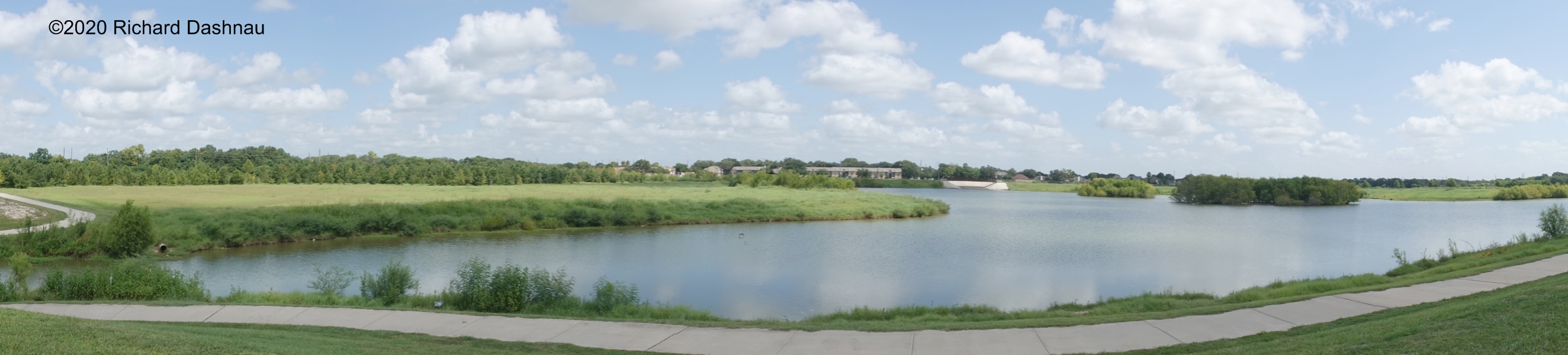
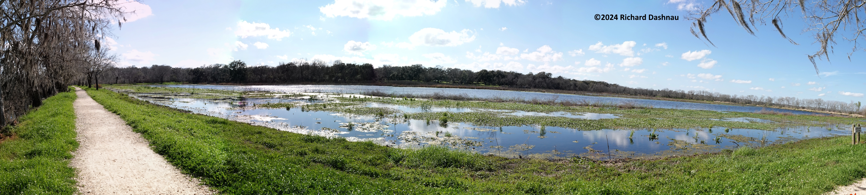
update
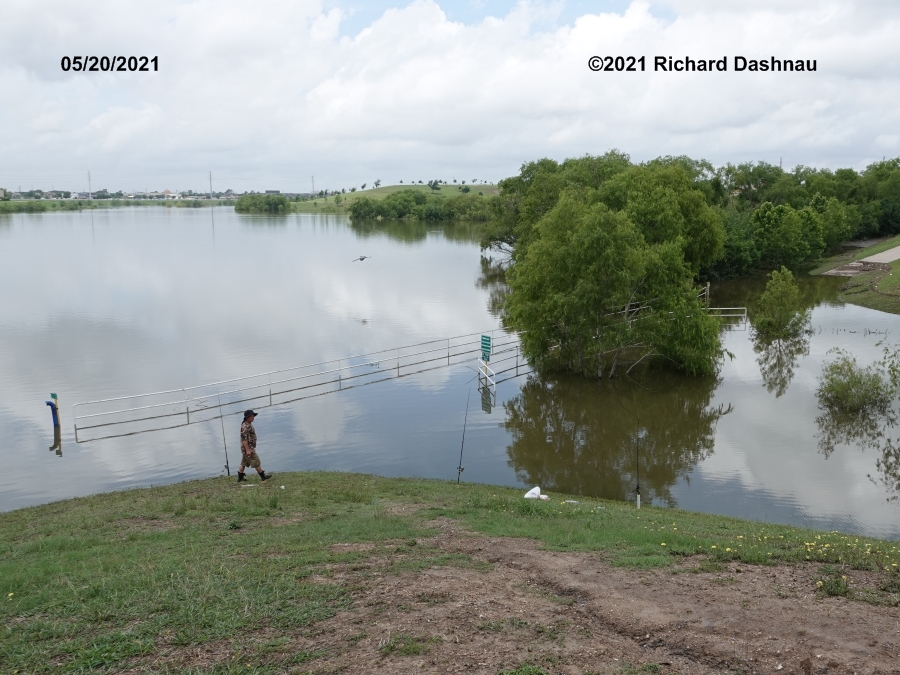
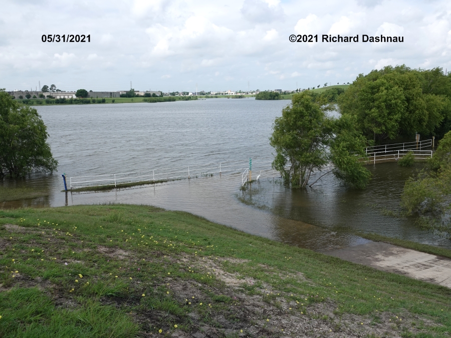
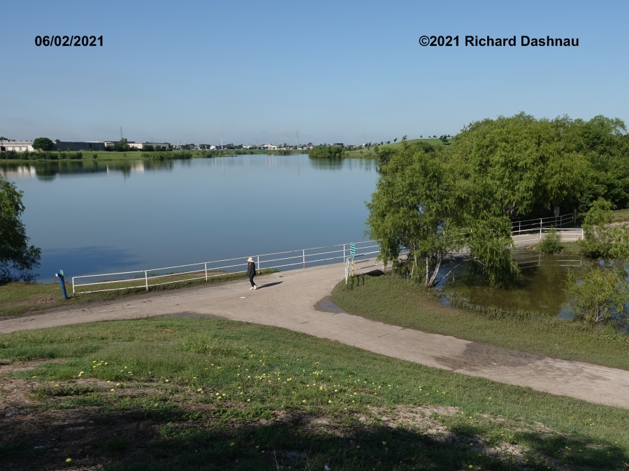
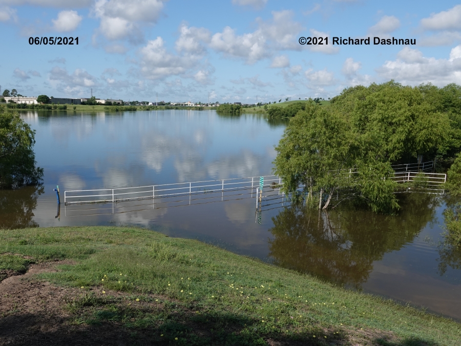
08/23/2020 (material
filmed Aug 13 2020) Like
almost everyone these days, I've been staying inside. I
have stopped driving too far...
for purely recreational purposes.
I've
also been
avoiding parks that
take much time drive to; since we are generally asked to limit
travel.
Today I went out to Archbiship Fiorenza Park phase
2(second
time this week!) and I was happy
to see it
wasn't crowded. I walked, but not far, since I wanted to keep
an eye on my car. The
pictures below show the park that day. It's easy to see that
there
weren't many people in the park (although
there were many parked near
the playground).
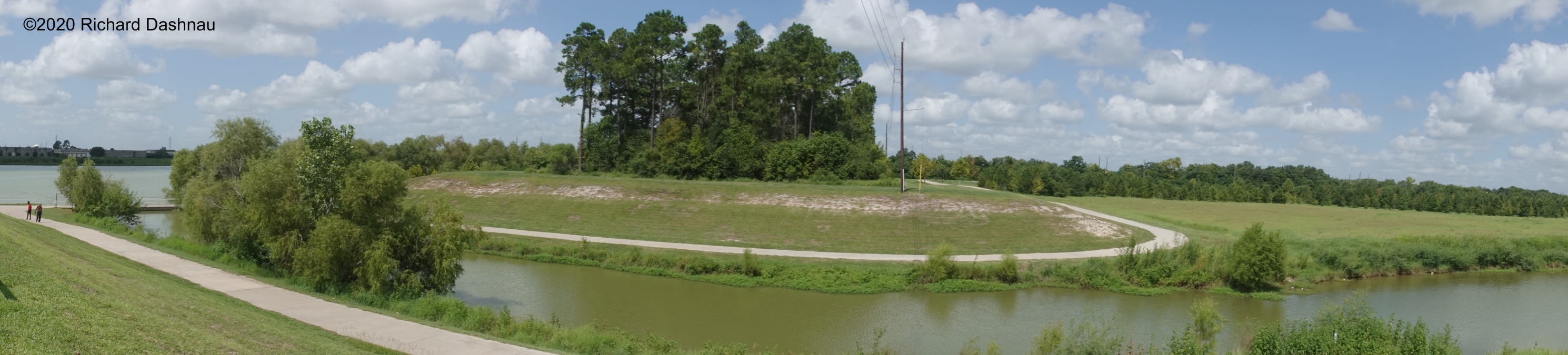
12/02/2017 This is
archbishop Fiorenza park.
If you go near this spot: 29.716590, -95.633297 and then
first
look Northeast then circle right to look Southwest... it
looks
like this. There's a blue
water tower left of the flat buildings in the center
of this long view. To the left of that is are two white
spots.
That is near where I was standing when I took the other two long
shots
below this one.
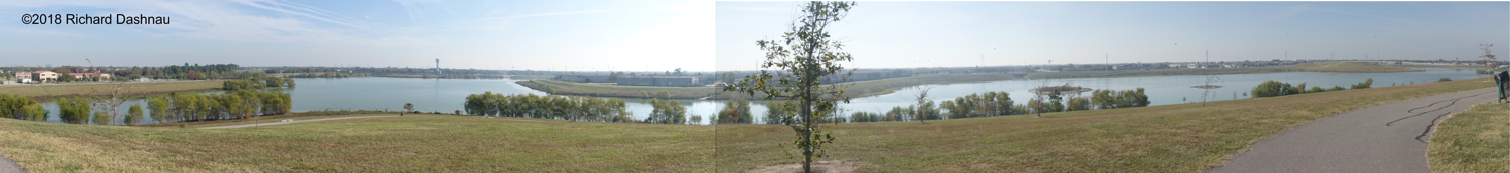
12/25/2017 This is archbishop Fiorenza park.
If you go near this spot: 29.719998, -95.628573 and then
look
Southeast to Southwest... it looks like this ( mage below). I've
seen a Bald
Eagle in
the stand of trees near the center. To the left of that
stand
of trees are more trees next to the lake. Left of those, far back,
is a
raised area. That is where I was standing when I took
the long photo
above.
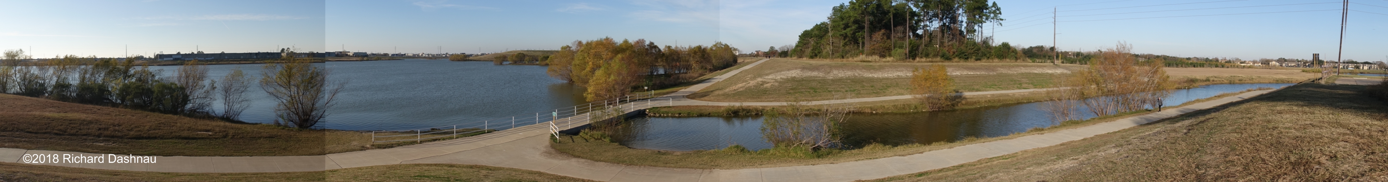
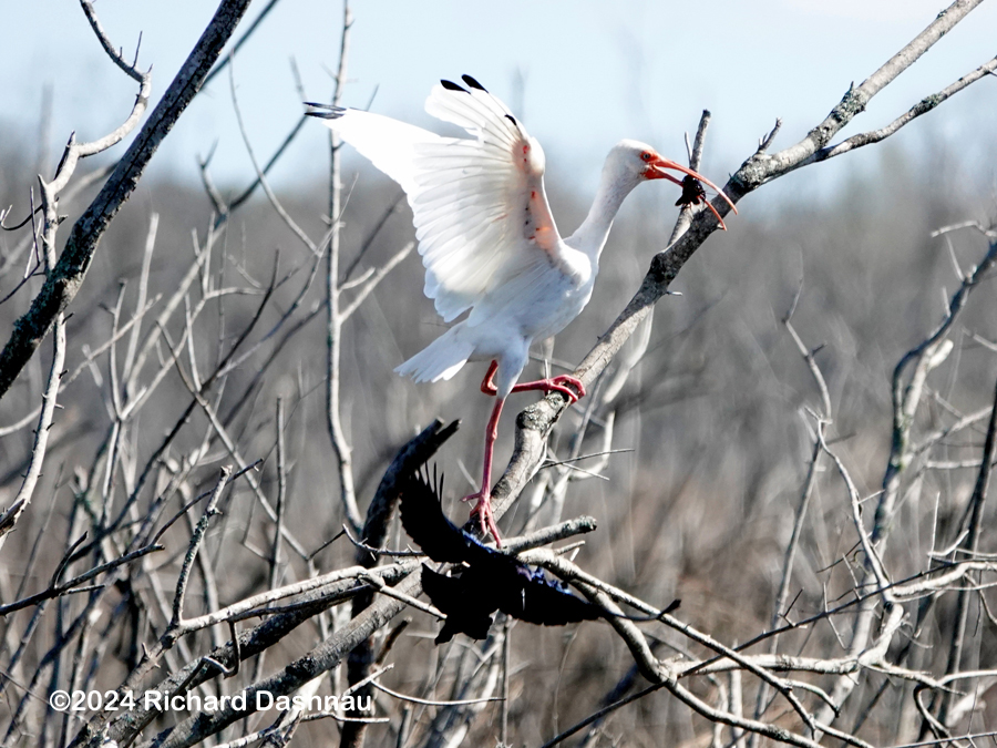
And
if you walk near the telephone pole at the far right, then look
Northwest to Northeast... it looks like this. I've watched
Ospreys fly over, seen Cormorants flying all over here, and
flocks of
White Pelicans feeding here, among other things.
On Google maps, Try this link. or these numbers: 29.720375, -95.628716
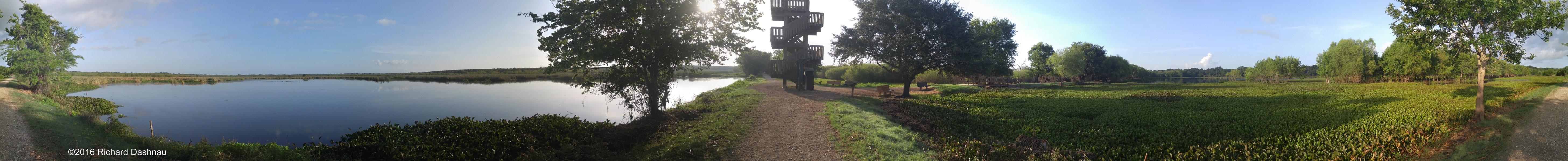
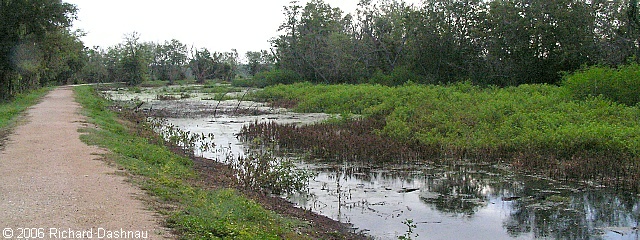
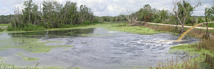
7/24/2016 Brazos
Bend State Park reopened this week! Even this long after the
flood, the park shows signs of what the high water had done. In this
long panorama shot, here are two
interesting examples.
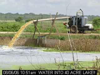
40 Acre lake
is almost totally choked by Water Hyacinth. But....Pilant Lake is more
open than I've ever seen it in 14 years! Take a look. Click the image
to see a larger version--then
scroll across.
---------------------------------------
------------------------------------
40
ACRE LAKE!! 11/19/2006
Here
is a picture I shot 11/19/2006 from the top of the Observation
Tower at
40 Acre Lake. What an improvement from the summer! Click on the
image
for
one that's a little bigger.
 -
- -
-
RUSS
PITMAN
PARK--------------------------------------------------------------------------------------------------------------------------
I
have taken many pictures and video clips of animals living at this
park, and some are shared on my other pages. This is just a
mention of
the park itself.
There will be pictures here, eventually.
SCOBEE MODEL AIRPLANE FIELD--------------------------------------------------------------------------------------------------------------------------
February
4, 2006 -- Here are a couple of clips I shot at Scobee
Field.
It's a full-sized airfield built for model aircraft hobbyists.
These
clips feature model jets with working turbine
engines. SCOBEE02/04/06
A
5MB
SCOBEE
02/04/06
B 5MB
Go
back to my home page, Welcome
to Rickubis.com
Go
back
to the RICKUBISCAM